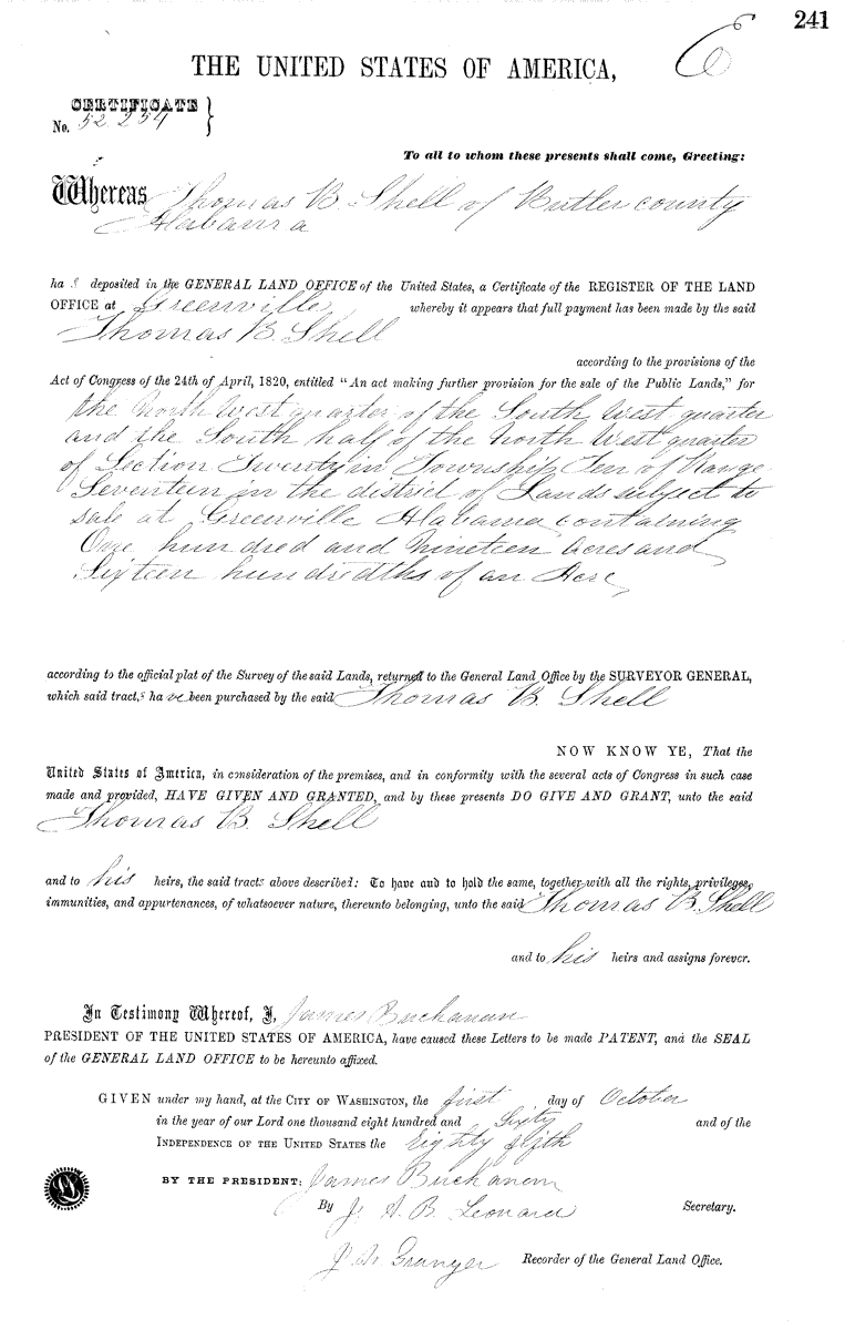
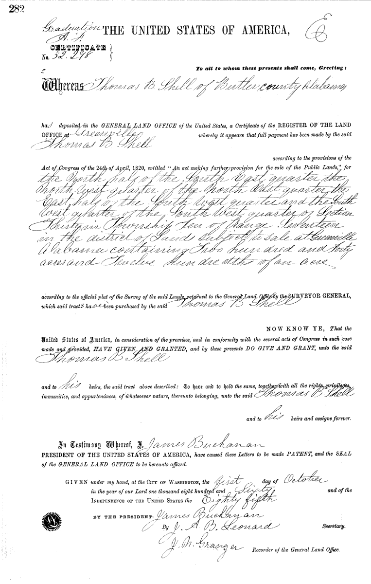
Here are two land patent certificates, numbers 52254 and 52298 dated October 1, 1860, with legal descriptions for tracts granted to Thomas Barnes Shell in Butler County, Alabama.
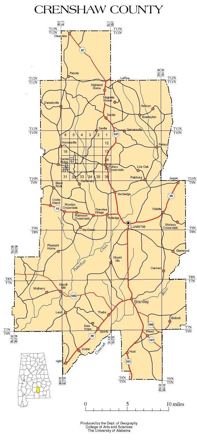
On November 30, 1866 the Alabama General Assembly formed Crenshaw County from parts of Butler, Coffee, Covington, Pike and Lowndes counties, including that part of Butler County described in the above documents.
This is a map of Crenshaw County from the University of Alabama with corners of townships marked at the county border. I have added connecting lines to show the township grid, further divided township 10N in range 17E into its 36 sections and numbered perimeter sections, divided sections 20 and 30 as per the legal descriptions in Thomas Barnes Shell's land patents numbers 52254 and 52298, and colored his parcels gray.
For a better idea of where these parcels lie relative to present roads, streams, and other geographical features, this is an overlay of a scan from p. 52 of DeLorme's Alabama Atlas & Gazetteer.

The name of the population center nearest his lands may be confusing in a place with little apparent topography, but a close look at the DeLorme map reveals "Center Ridge" is indeed on a slight ridge between the watersheds of Patsaliga and Pigeon Creeks. In fact, following this "ridge" to the southwest leads eventually to the settlement of Pigeon Creek. Sardis Baptist Church in Pigeon Creek is itself on a rise, which I suspect may be part of this ridge or watershed divide. There are roads along this ridge which permit travel from Honoraville, an important early settlement in this area, and Pigeon Creek with no water crossings, a significant distance in this part of Alabama. Here's the DeLorme Atlas scan alone.

If you don't know about these atlases, they deserve a look. I think they're an indispensable tool for the genealogy researcher or anyone who ever looks for anything off the main drag. They clearly illustrate topography, waterways from major rivers to dry stream beds, and thoroughfares from interstate highways to pig trails. Each book contains an entire state in large scale maps (1:182,000 or 1 inch = 2.9 miles). They're widely available at popular retail outlets, including bookstores. You can also find more information about them at the DeLorme web site.
Return to Dan & Cindy's home page by clicking HOME.
Click EMAIL to submit corrections, additions, or otherwise let us know
what you think. SURNAMES is the genealogy home page with an index to check
for a connection to your family.
If you find one, let us know!
Page built by Gedpage
Version 2.05 ©1997 on 3 May 2002